 Catàleg local de Mallorca
Contact for the resource
Ajuntament de Inca
Type of resources
Available actions
INSPIRE themes
Keywords
Contact for the resource
Provided by
Years
Service types
From
1
-
1
/
1
-
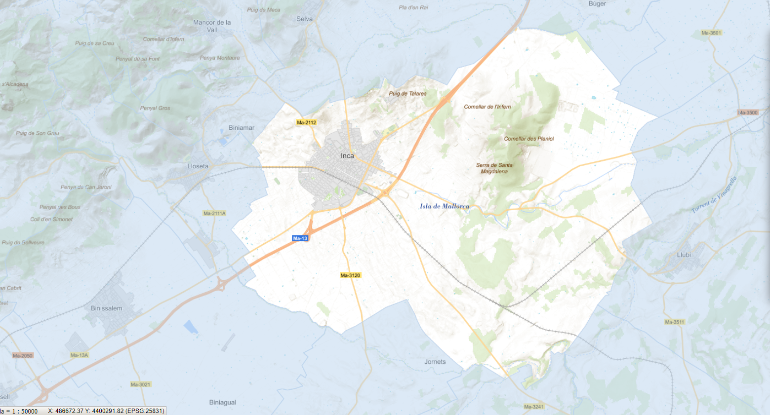
Web Map Service according to the INSPIRE profile of ISO19128 WMS 1.3.0 that allows access to the cartography that represents the transport infrastructure network of Inca, Mallorca, Balearic Islands Spain. The scale of representation is 1:5000 for the roads and 1:2000 for the streets. Geographic information belonging to the Inspire annex is shown: 1) Transport networks. The layers of information are in accordance with the INSPIRE Directive 2007/2/EC (name, title and style Inspire by default). The access or connection to this service, to obtain the functionalities is free in any case.